
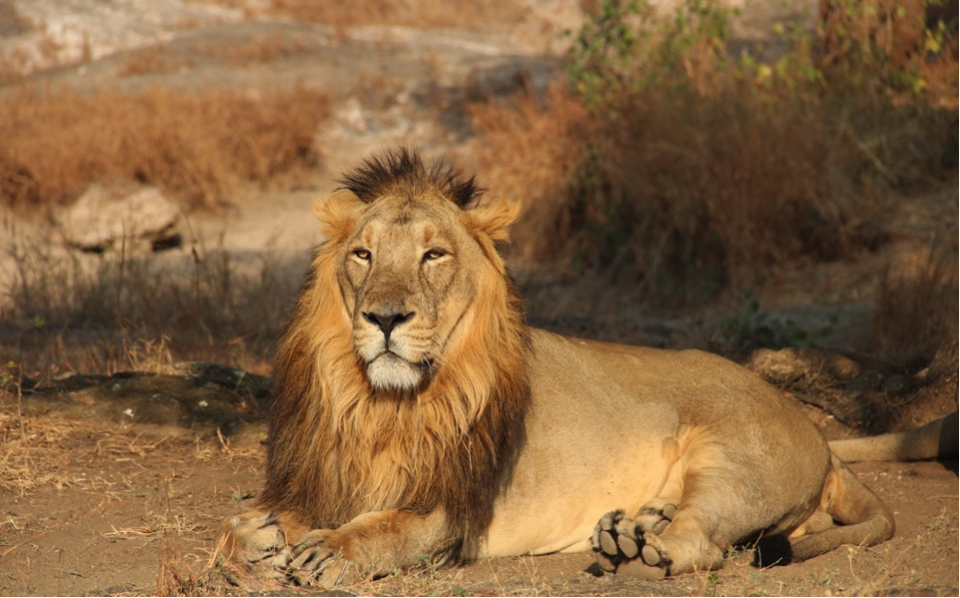
Biodiversity assessment and monitoring for carbon, conservation and nature based projects, covering species, ecosystems, habitats, threats and co-benefits.
KMS provides services related to biodiversity assessment, a systematic evaluation of the variety of species, their genetic diversity and the ecosystems they inhabit within a specific area or region. It aims to understand the current status of biodiversity, identify threats and inform conservation and management strategies. These services use data from biodiversity assessments to prioritise conservation actions and allocate resources effectively. The assessment also identifies key biodiversity areas (KBAs) and biodiversity hotspots that require urgent conservation attention. It helps establish monitoring programmes to track changes in biodiversity over time and assess the effectiveness of conservation measures.
Why biodiversity matters to a carbon project
Biodiversity is no longer a side note in carbon work. The standards that carry the most trust reward projects that protect species and ecosystems alongside storing carbon. Verra’s CCB Standard and SD VISta exist for exactly this. Credits that carry measured biodiversity co-benefits can command a premium over carbon alone. A sound biodiversity assessment turns a claim of co-benefits into something a verifier and a buyer will accept.
How KMS approaches biodiversity assessment
Kanaka Management Services (KMS Group) assesses biodiversity by combining field survey with remote sensing and GIS. The work covers evaluating species, genetic and ecosystem diversity across a site, identifying the threats acting on it and locating the key biodiversity areas and hotspots that need attention first. From there we help prioritise conservation actions, direct resources where they count and set up monitoring that tracks how biodiversity changes over the life of a project.
That monitoring is the part most projects underestimate. A one off survey describes a moment. A monitoring programme shows whether conservation is actually working, which is what a standard wants to see and what a buyer is paying for.
The same assessment supports work well beyond a single service. It pairs with forest carbon surveys on forestry and REDD+ sites, with socio-economic assessments for the community side of the CCB picture and with natural resource management where land and ecosystems are managed together. It also feeds conservation planning, ecosystem management and the early stage biodiversity and nature credit markets now taking shape. For how these pieces fit, see our carbon credit knowledge hub.
Frequently asked questions
What is a biodiversity assessment?
A biodiversity assessment is a systematic evaluation of the species, genetic diversity and ecosystems in a defined area. It records what lives there, identifies the threats and pinpoints the most important areas to protect. The result is an evidence base for conservation decisions and for carbon projects that claim biodiversity co-benefits.
Why do carbon projects need biodiversity assessments?
Higher trust carbon standards reward protecting nature alongside storing carbon. Verra’s CCB Standard and SD VISta certify biodiversity and community co-benefits. Credits that carry them can command a premium over carbon alone. A biodiversity assessment proves those co-benefits to a verifier instead of just asserting them.
What are key biodiversity areas and hotspots?
Key biodiversity areas (KBAs) are sites that matter most for the global persistence of biodiversity. Biodiversity hotspots are regions with exceptional species richness that are also under serious threat. Identifying both tells a project and a conservation programme where to focus first.
How is biodiversity monitored over time?
Monitoring repeats measurement on a set schedule against the original baseline, so change can be tracked and the effect of conservation measured. A single survey only describes one moment. Monitoring shows whether biodiversity is recovering or declining, which is what carbon standards and buyers want to see.
Does KMS use field surveys or remote sensing for biodiversity?
Both. Field survey records species and habitat on the ground. Remote sensing and GIS map habitat extent, condition and change across the wider landscape. KMS combines them so the assessment is accurate on the ground and complete across the area.
Talk to a KMS carbon consultant
Running a carbon or conservation project that needs measured biodiversity co-benefits? Tell us about the site and we will scope the assessment and the monitoring it needs.
Add Comment